
Evesham Neighbor Records Around a Block
For Evesham neighbors, a parcel-first review is the safest public-record method. Begin with one address, identify its block and parcel, then inspect the immediate surrounding polygons. Record only public parcel identifiers, situs address, visible owner or entity, map layers, and recorded-document references. A road, common tract, stormwater basin, or utility parcel can sit beside a home, so an adjacent polygon may represent an organization rather than a household.
| Source | What It Shows About a Block | Access |
|---|---|---|
| County GIS / NJGIN | Parcel geometry, block, lot, PIN, adjacent shapes, and selected map layers. | Public map or data. State-hosted owner names can be redacted; polygons are not legal surveys. |
| Evesham tax assessor | Assessed parcel and taxpayer or owner card, with possible mailing-address and exemption fields. | WIPP portal or counter. Live result fields were not captured for research. |
| Burlington County PRESS | Recorded transfers, liens, and mortgages by block and lot from March 1, 2012, with earlier owner-name history. | Free quick search, registered no-watermark images, and a separate pre-1965 archive. |
| Evesham permits and code files | Construction or alteration dates and public applicants for a specified address. | Counter or narrowly described OPRA request; no public searchable index was found. |
| Election district records | District and polling-place geography, plus legally disclosed registration data through the proper route. | Individual status tool or county district-list request subject to restrictions. |
| BCLS newspapers | Historical notices and civic events connected to the area, with incomplete source runs. | Public index; access to the cited newspaper varies. |
An assessed owner is not automatically an occupant. Likewise, a tax mailing address can point to a person or organization elsewhere. Keep a current parcel layer separate from a historical or community layer when considering a block.
Note: Record the parcel key and map date before comparing adjacent Evesham parcels, because a visible owner field does not establish current occupancy.
Map Evesham Neighbors Parcel by Parcel
The county's live property viewer was marked offline when the research was completed, and the exact adjacent-parcel control could not be inspected. When the viewer is available, locate the address, use its identify or select function, and click surrounding polygons. When it is not available, use an official Evesham tax map or statewide parcel data as the visual starting point. Neither route turns a parcel map into a household list.
- Find the target Evesham address in the Burlington County GIS, an Evesham tax map, or the statewide parcel data.
- Save the municipality code, block, lot, qualifier if present, PIN, and situs address for the target parcel.
- Inspect only the immediately adjacent polygon records. Mark roads, common areas, association tracts, and utility parcels as non-household land.
- Check the Evesham WIPP portal or assessor counter for the current assessment record, keeping a mailing address separate from the situs.
- Use the Burlington County PRESS index to match a known owner, block and lot, or instrument to a recorded transfer.
That sequence is a compact block check. A broader named-road inquiry belongs in the Evesham street directory, which follows address-keyed records along the full street instead of stopping at nearby parcels.
Note: Stop at the immediate parcel pattern when the question is about neighbors, and use the full street workflow only when the research scope changes.
Evesham Block Records When GIS Is Offline
The county lists its recommended property viewer as offline, so the fallback chain matters. County parcel downloads and the NJGIN parcel composite can provide geometry and standardized parcel information. Burlington County also publishes Evesham tax-map PDFs and permits physical map review in Room 111 of the County Administration Building. The township assessor is the local property-record contact when a field, map, or account detail needs confirmation.
For Evesham, the county parcel syntax combines municipal code 0313 with block, lot, and an optional qualifier. A condominium can require the qualifier. The GIS metadata can help locate those pieces, but parcel polygons do not settle ownership or a legal boundary. Use a recorded deed, plat, or official tax map where the map view leaves a question.
Note: Save the map date and tax year with any Evesham parcel note because values and displays can change.
Evesham Neighbors and Election Districts
Election geography can explain which district serves an address, but it is not a block roster. Evesham has 37 election districts across nine polling locations. The address-based polling search returns the district and polling place for the address entered. The state Voter Search is an individual status check, with name spelling and county used for confirmation rather than a street-wide search.
For a documented list, the Burlington County Superintendent of Elections has a request process. New Jersey law provides registry-list copies to a voter at $0.25 per list for each election district, and use for commercial or charitable solicitation is prohibited. Protected records can be withheld. Ask for a specific district and record type rather than asking an office to create a new neighbor directory or identify every household on a block.
| Question | Documented route | What it does not establish |
|---|---|---|
| Which district serves an address? | Address-based polling-place search or local district information. | Names of everyone who lives nearby. |
| Is one person registered? | New Jersey individual Voter Search. | Every household member, current occupancy, or ballot choices. |
| Is a district list lawfully available? | County Superintendent request using a specific election district. | An unrestricted Evesham neighbor list or solicitation right. |
Evesham Neighbor Community Contacts
Community organizations can provide a way to learn about a neighborhood without exposing a household list. The research found public contacts, meeting material, historical resources, and civic bodies, but no verified public member directory. That boundary is useful: a community page may show how to ask about an event or local history, while a roster remains private.
Marlton Neighborhood Alliance
Marlton and Evesham community umbrella with a public FAQ, meeting videos, and an email contact. Individual membership is $25 unless an HOA has paid dues; no member directory is published.
Evesham Town Watch
The township lists a Town Watch Advisory Committee as a municipal civic body. A public roster was not located, so public meeting material is a better lead than trying to assemble names.
Evesham Historical Society
The John Inskeep House offers photo, oral-history, and historic-property context. It welcomes members and volunteers but does not publish a resident directory.
The Marlton Neighborhood Alliance FAQ documents its public community-facing information.
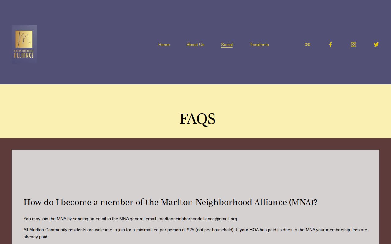
Its public meetings and contact path can support community context, but the absence of a roster means it should not be treated as evidence of who lives at a particular Evesham address.
Evesham recorded 46,826 residents in the 2020 Census and had a 2025 estimate of 49,525. At that scale, a regional parcel system and a community contact path are more useful than pretending that one neighborhood source is a complete neighbor list.
Marlton Lakes Names Versus Legal Parcels
Marlton Lakes is a named Evesham neighborhood with its own lake and road identity. Ash, Bass, Cherry, Crest, Dogwood, Elm Terrace, Fern, Hickory, Holly, Lakeshore, Marbel, Park, Peach, Poplar, Sandwood, Spring, Sycamore, and Walnut are among the local street names noted in the research. Those names can help interpret a directory, community notice, or map search.
They do not replace block, lot, subdivision, or legal-description fields. A deed may identify a tract or lot while a community source uses Marlton Lakes as a familiar label. The same issue can arise with Olde Marlton, Evesboro, Pine Grove, Milford, Cropwell, and other Evesham place names. Pair the neighborhood term with the legal parcel key before tying any record to neighbors around an address.
Marl mining north and west of the village began around 1806, and the Marlton name came into use in 1845. That history explains why an older Evesham record may use a place name that differs from a modern neighborhood label or postal address.
Evesham Neighbor Sources Compared
Official records and commercial neighbor tools answer different questions. Public maps and land indexes show a defined record trail, although that trail may be limited or redacted. Private services often combine address associations, marketing data, former owners, and same-name results. They can conflate a parcel with a past connection and cannot reliably prove physical presence on an Evesham block.
| Official parcel and record trail | Commercial neighbor-tool category |
|---|---|
| Shows cited parcel, instrument, district, or public document information from a custodian. | May combine public extracts and marketing associations with unclear update timing. |
| Can be checked against the relevant assessor, clerk, map, or election office. | Can attach former owners or similar names to the wrong address. |
| May include protected redactions and does not promise all occupants. | Cannot reliably identify everyone physically present on an Evesham block. |
For a records error, preserve the parcel, instrument, docket, or URL and contact the custodian. A public record and a private listing use different correction paths, so a correction request should name the exact source.
Privacy Limits on Evesham Neighbor Searches
Neighbor records have firm limits. They do not reveal all renters, household members, utility customers, delivery recipients, children, ballot choices, or protected home addresses. New Jersey's Address Confidentiality Program can provide qualifying survivors a substitute legal address. Daniel's Law protects covered officials and qualifying family members, and state parcel services redact owner names in certain hosted maps and datasets. A missing name may reflect a legal protection, not an empty parcel.
For an Evesham block, the parcel map therefore shows a physical relationship, not a complete roster of people who live nearby. Keep the owner, mailing, and occupancy questions separate.
When a record is restricted or absent, do not try to fill the gap with a private inference. A narrow request for an existing public permit, parcel record, recorded instrument, or district document is more accurate and respects the limit that the custodian must protect.